Laser scanner
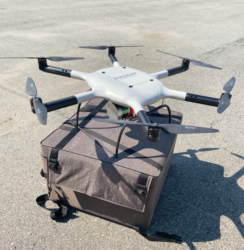
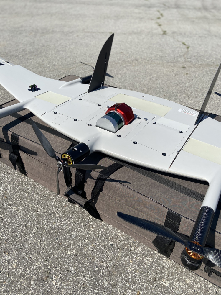
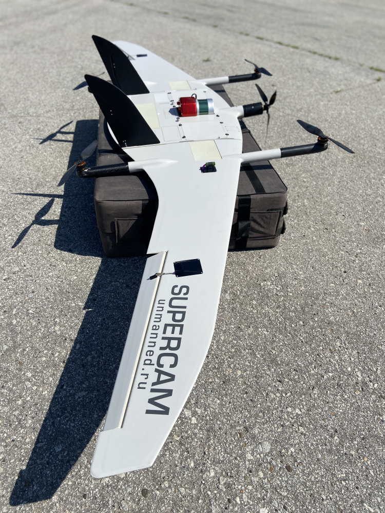
Airborne laser scanner (LiDAR) along with Supercam UAV is designed for airborne laser scanning of large areas of the earth surface, at altitudes from 80 to 170 meters to generate digital terrain models, elevation, buildings and facilities three-dimensional models. The payload can be integrated with Supercam S350, Supercam SX350, Supercam S450 and Supercam X6M2.
Within one flight at an altitude of 150 meters, a UAV complex with an airborne laser scanner is capable of surveying the area of up to 20 km2. Under normal weather conditions, up to 3 flights can be performed, which makes it possible to survey up to 60 km2 within one working day.
Rotary wing UAV with an airborne laser scanner specifications
Rotary wing UAV with an airborne laser scanner specifications
Data acquisition rate - min 300 000 points per second
Operational height - from 50 to 170 m
Position accuracy - min 10 mm
Cumulative error - min 1 cm
Scan angle - min 90 deg
Density of laser reflection points - 90-100 points per km²
Fixed wing UAV with an airborne laser scanner specifications
Fixed wing UAV with an airborne laser scanner specifications
Data acquisition rate - min 300 000 points per second
Operational height - from 100 to 170 m
Position accuracy - min 10 mm
Cumulative error - min 1 cm
Scan angle - min 90 deg
Density of laser reflection points - 20-30 points per km²