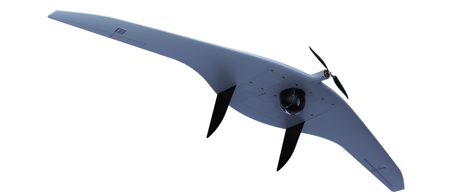


The Supercam S350 is one of the flagship unmanned aircraft systems designed for aerial photography and video monitoring. The flight duration of up to 4.5 hours with data transmission range of up to 100 km provides the possibility of using the UAV in surveillance and reconnaissance missions, for protecting state borders, monitoring fuel and energy facilities, crisis management, as well as for other civil applications. A wide range of payloads can be installed onboard the UAV including a photo camera, video and thermal imaging equipment, radiation detection equipment, a gas analyzer and a laser scanning system.
The key features of the unmanned system include the UAV quick assembly, modular composite components, interchangeable and combined payloads with the unified gyro-stabilized gimbals, and the wing panels detachment system to prevent possible damage during landing.
The company adheres to the client oriented policy that retains multiple low-cost options in the UAV configuration to meet the exceptional needs of our customers.
Specifications
Specifications
Wingspan - 3.2 m
Endurance - up to 4.5 hours
Speed - 65 - 120 km/h
Radio link range - 70-100 km
Video transmission range - up to 50-100 km
Max flight range - 240 km
Max takeoff weight - 11.5 kg
Operational height - 150 - 5000 m
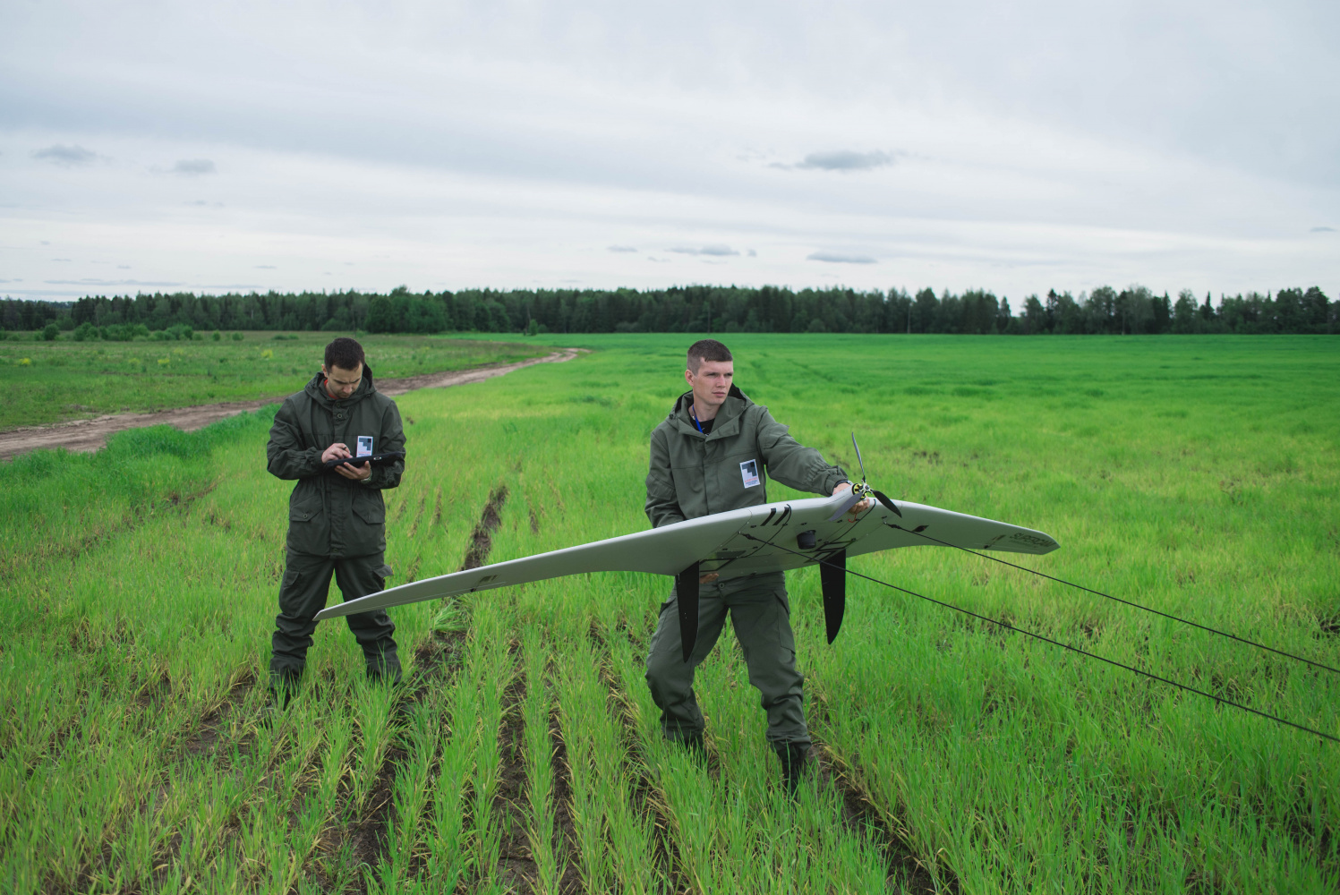
Takeoff / landing
Takeoff / landing
Deployment time - 15 min
Takeoff - elastic catapult / pneumatic catapult
Landing - parachute with cords release system
Flight modes - automatic or semi-automatic
Diagnostics - automatic self-diagnostics of the ground and onboard equipment
Operational conditions
Operational conditions
Wind speed - up to 15 m/s
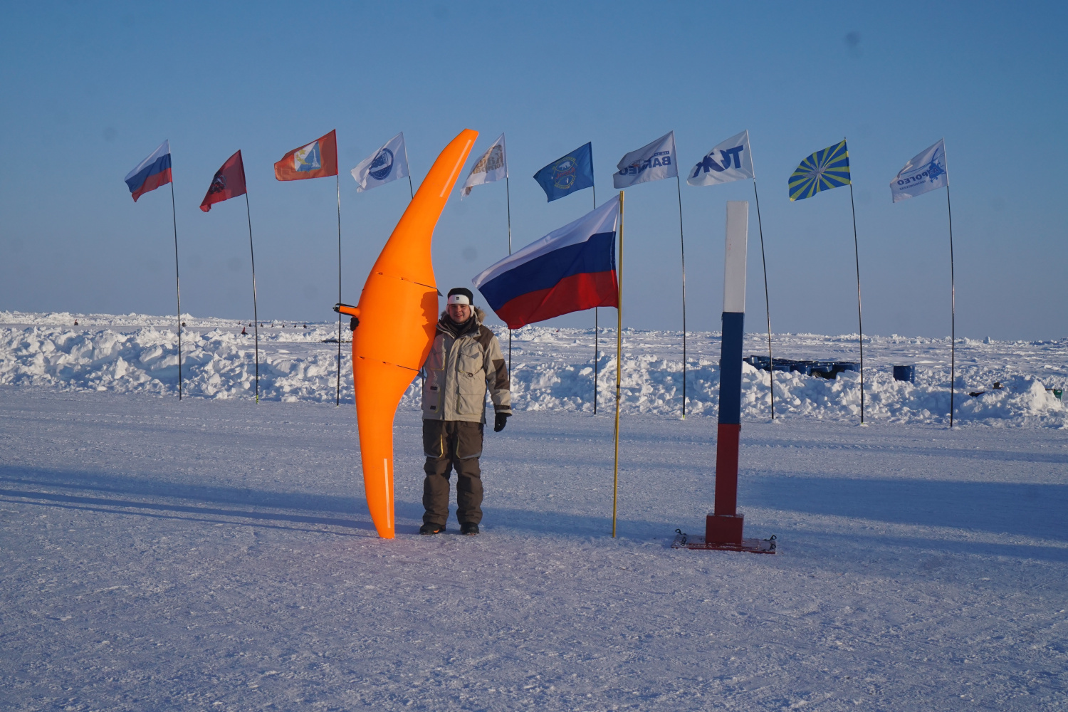
Operational temperature - from -40°С to +45°С
Weather conditions - moderate rain or snow
Payload options
Payload options
- 20/24/42/60 MP photo camera with the ability to be mounted on the azimuth stabilized platform
- Gyro-stabilized thermal imaging camera and/or PAL or HD video camera with 10/33х optical zoom, that can be combined together, and optionally enhanced with a laser target marker
- Multispectral camera
- Airborne radiation sensor
- Laser gas analyzer
- Laser scanner
Optional equipment
Optional equipment
- Automatic target tracking module
- Dual (triple) system, dual-frequency geodetic receiver
- Video link for digital broadband transmission within a range of up to 50-100 km
- Radio link of telemetry and control with the ability of FHSS operation
Performance capabilities
-
Flight mission correction (waypoints adding, removing and moving) and complete reload, reading of the mission from the other GCSs during the flight
-
Automatic control system (ACS - UAV autopilot) provides the UAV flight at a specified altitude, the specified horizontal and vertical maneuvers performance, as well as the flight mission performance
-
UAV performs the automatic flight according to the specified course and can hover over the object. The fly-over point can be moved by the operator in real time, taking into account wind corrections or inaccuracies of the electronic map
-
Protection against loss of control (in case of communication loss, the UAV returns to the launch point and performs the automatic landing)
-
GCS voice module (voice announcement of all commands and current changes in flight conditions, wind speed, and the flight mission performance)
-
Connection of GCS to the Internet as a web server with the full-featured remote terminal functions
-
Flight mission creation based on the height map
-
Possibility of the UAV control transferring from one GCS to another
-
Semi-automatic control can be performed with the multifunctional gamepad
-
4 UAVs simultaneous operation
-
UAV automatic return to the specified point
-
Autonomous takeoff and landing
-
UAV control with two GCSs
-
GCS operation in motion capability
-
Manufacturer's software with update services